Services

Environmental data for decisions that matter.

Tell us the place, the question and the decision. We build the smallest useful combination of fieldwork, mapping, analysis and environmental expertise to answer it.
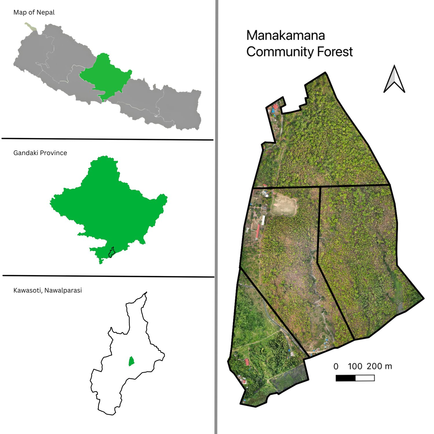
Orthomosaic · Kawasoti

What we do

Start with the question.

Communities & CSOs

Understand your place, together.

We ask first, map with you, and hand the results back in a form your operational plan can use. Community work is often supported by a donor, NGO or agency partner; tell us about your place and we will say plainly what is possible.

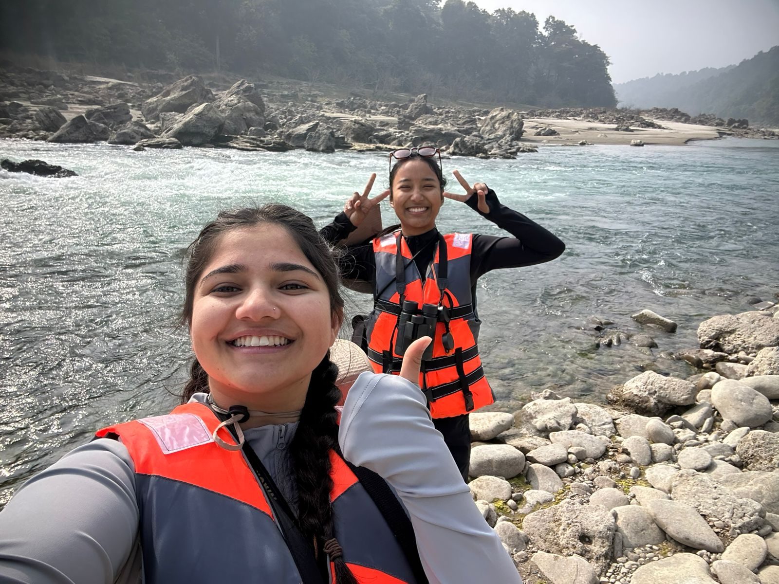
Abhishu Neupane and Shejal Pradhan in life jackets on a river bank

Indicative packages

Scope that fits the decision.

These are starting points, not our full service catalogue. Biodiversity, climate, water, disaster and assessment work is scoped the same way: tell us the decision and we propose the smallest useful scope.

Plot · from NPR 25,000

One forest block

UAV survey, orthomosaic, tree-crown map, stem count, summary PDF + GeoTIFF/GeoJSON.

Operational · from NPR 120,000

A full operational plan

Inventory design and field survey, regeneration and allowable-harvest analysis, boundary and management maps, species diversity baseline.

Programme · custom

Multi-site monitoring

Repeat surveys, change detection, alerts by unit, dashboard and data access, training.

Confirmed with a written scope and quote; prices depend on size, terrain and access. Institutional environmental performance and carbon accounting are delivered through GeoSutra Carbon, built on the same environmental data layer.

Partnerships

No one sees the whole picture alone.

Enquiry

Tell us about the place and the decision.

We will propose the smallest useful scope. No obligation.