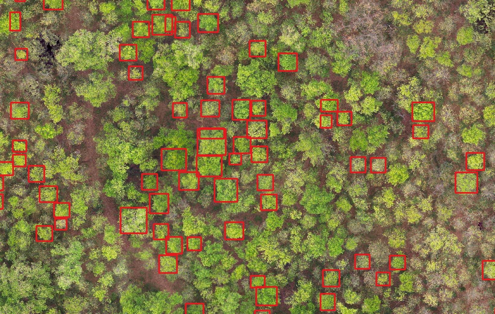
We turn drones, satellites and field-grade AI into environmental data communities, government and donors can trust — measured from the ground up, not estimated.
Decisions about forests, carbon, water and disaster risk all depend on environmental data — yet in Nepal that data is scattered, collected once and quickly out of date. There is no shared, lasting baseline to measure change against.
GeoSutra is building it: an accessible, long-term record of Nepal's environment, kept as a public good. We use drones, satellites and AI to turn the physical world into data — starting with forests, extending to carbon, land and water — and we build the products that measure carbon footprints and environmental performance on top of it.
One measured, lasting record — forests, carbon, water and land — open and usable for the public good.
We measure the physical environment directly, then build the software to act on it — from monitoring to carbon accounting.
A free calculator, open to everyone. Answer a few questions about how you travel, power your home and eat — and see your estimated annual CO₂e, a category breakdown, and how you compare to the Nepal and world averages.
Runs entirely in your browser · nothing is stored · always free.
GeoSutra is an environmental intelligence company registered in Kathmandu — building Nepal's long-term environmental data, measured, open and useful.