Our story
Youth-led. Nepal-based. Field-first.
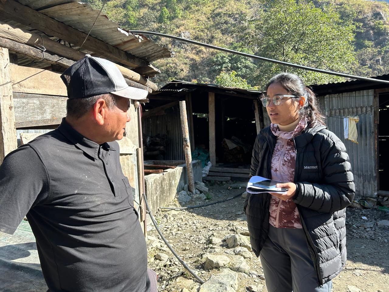
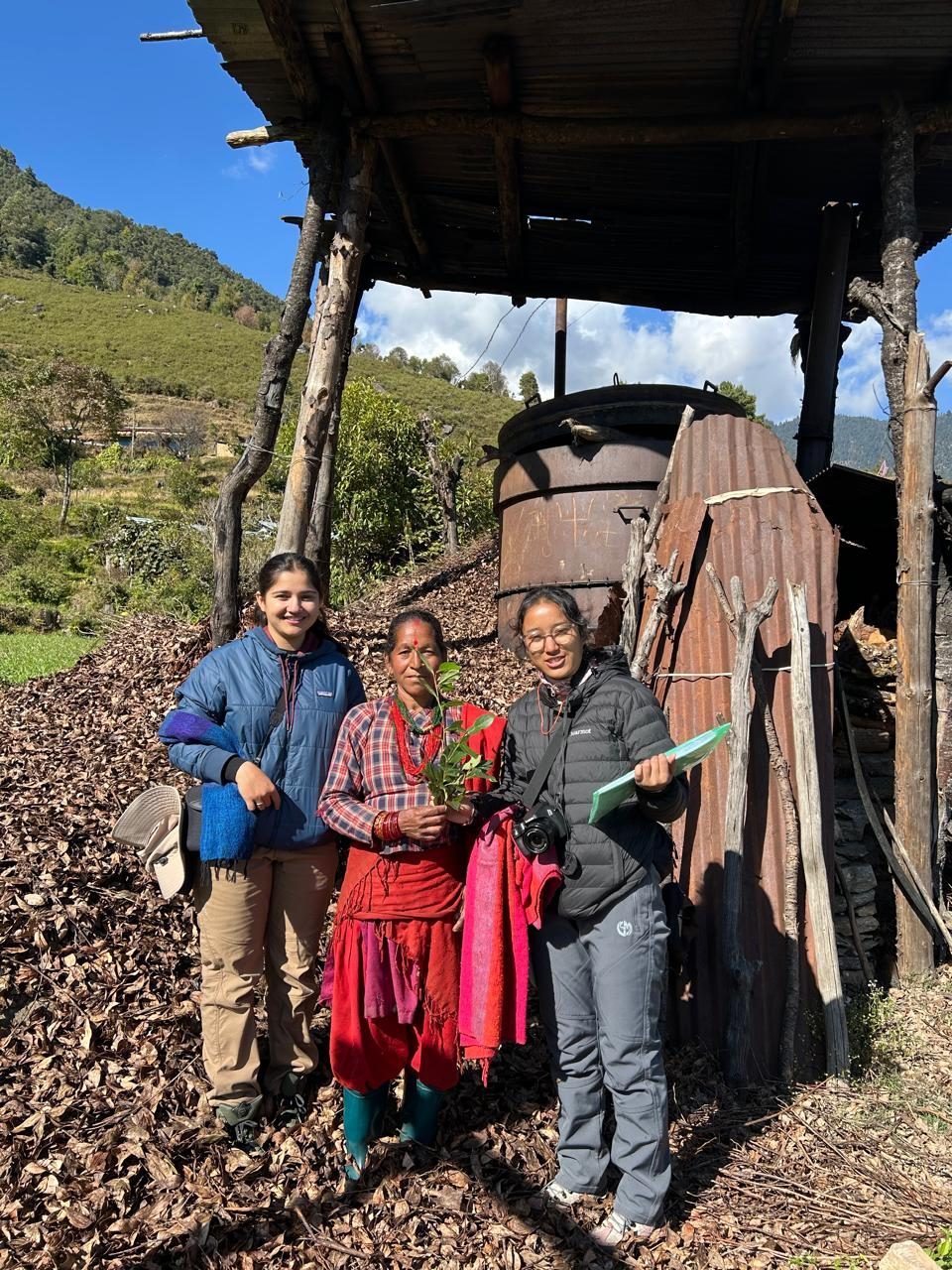
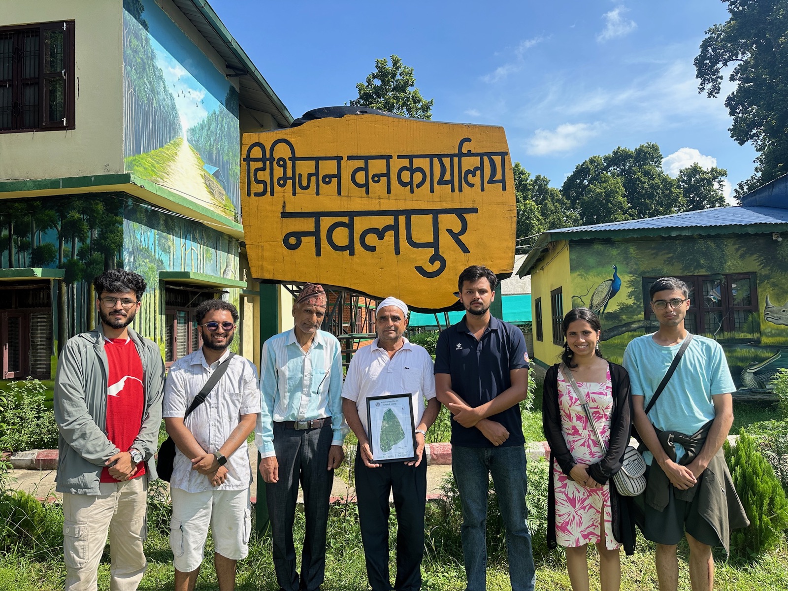
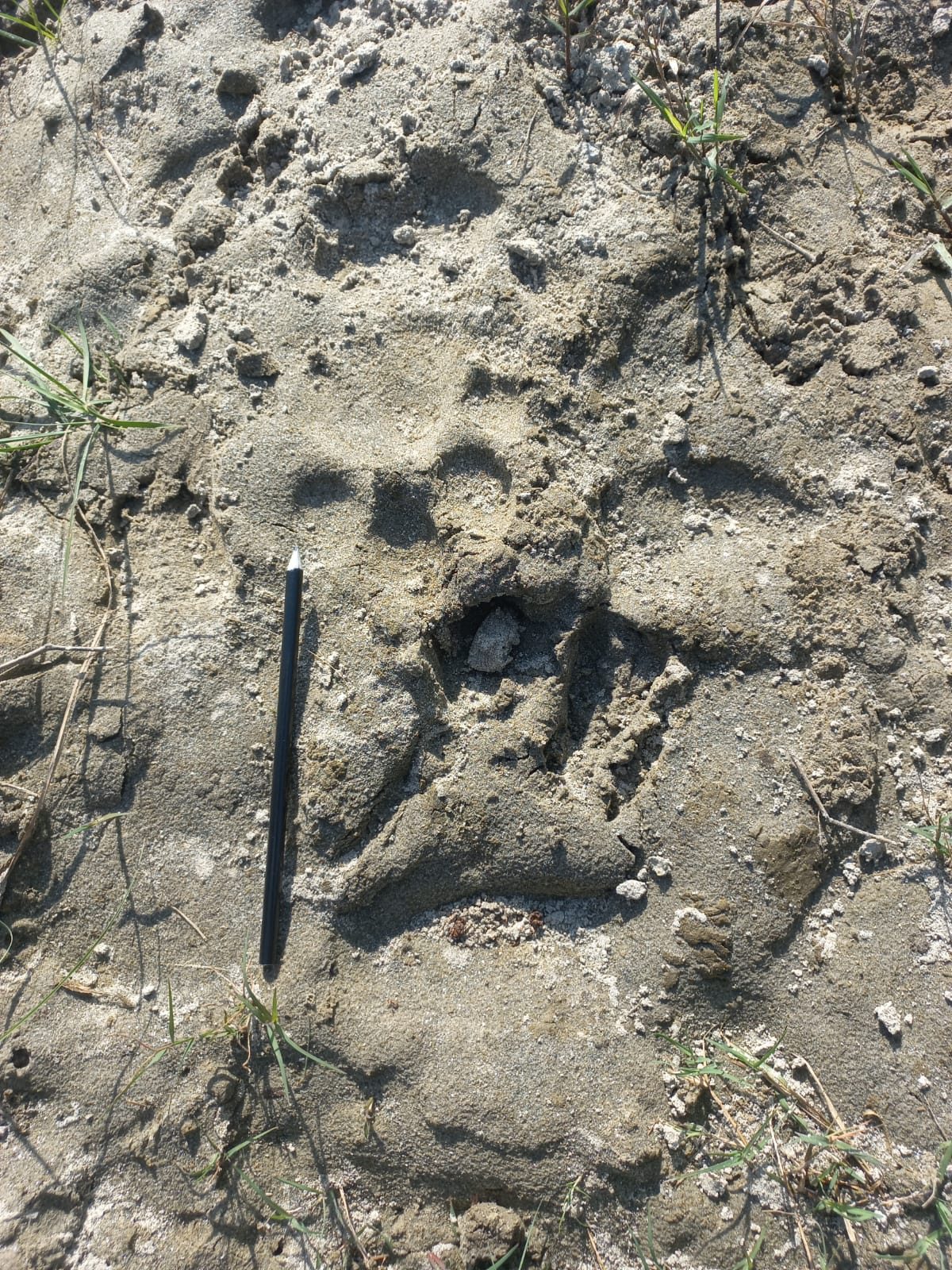
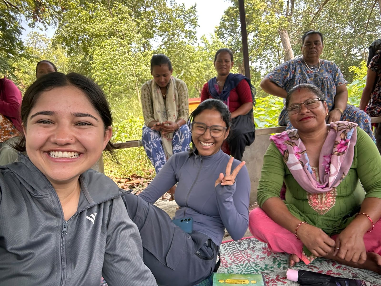
Five forestry and ecology graduates who kept ending up in the same places: on porches with forest user groups, in sample plots with a tape, on rivers and in wetlands, in villages after a flood. GeoSutra was registered in 2026 so the listening, the measuring and the returning could keep happening together, across Nepal.
Our worldview: local knowledge + new ways of seeing. Our role: environmental intelligence. Our model: a private company whose professional work lets us keep selected tools, data and learning resources public.