Environmental Information Hub
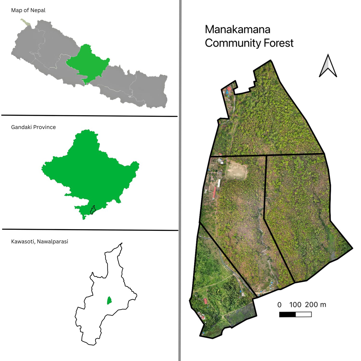
Orthomosaic · Kawasoti
Nepal's environmental information, brought together.
Find → organise → connect → explain → make useful. We do not own this information; we are the layer that helps people navigate it.
Find → organise → connect → explain → make useful. We do not own this information; we are the layer that helps people navigate it.
Canopy, tree cover, community forests, species occurrences, active fire and climate layers, by management unit.
Open → ClimateNormals, ERA5-Land temperature trends and CMIP6 scenario projections for every local government.
Open → Open dataForest, disaster, climate and reference data with source, licence and limits.
Catalogue → ToolsTen calculators and references that show their formula.
Use → ResearchField reports, methods, data notes.
Read → DisasterOur survey, NDRRMA and HOTOSM figures, InSAR evidence and open imagery.
Read →Environmental data for understanding change, supporting research and informing decisions relevant to climate action and life on land. These sources are not official SDG indicators. Our SDG contribution →
Authoritative external sources we point to